Ministry of Science & Technology
India's geospatial economy is expected to cross Rs 63,000 crore by 2025 at a growth rate of 12.8% and to provide employment to more than 10 lakh people
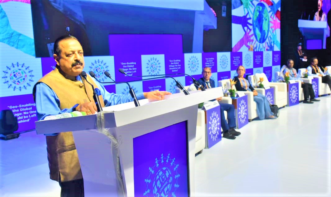
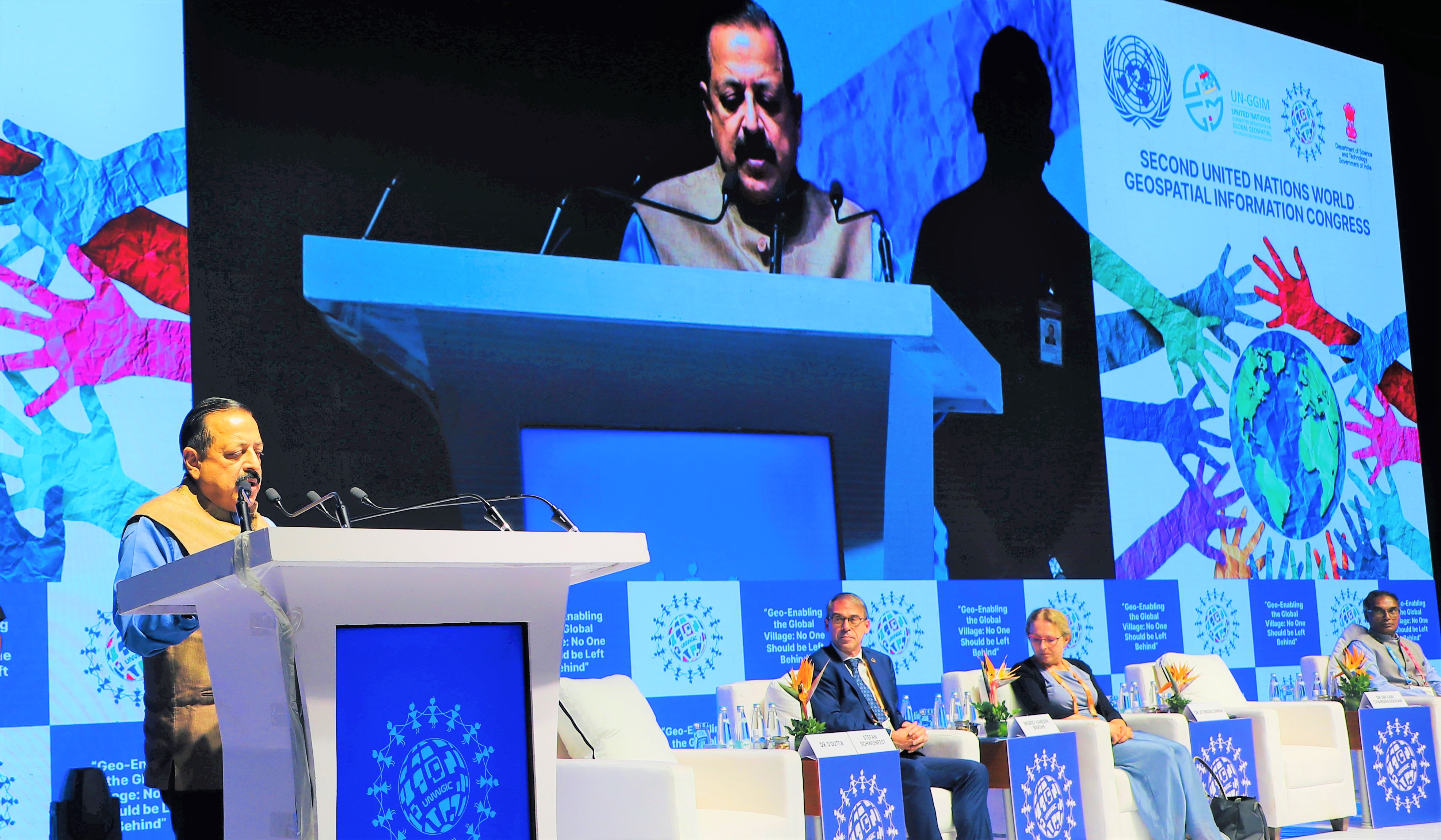
Union Minister Dr. Jitendra Singh delivers keynote address at the Second United Nations World Geospatial Information Congress (UN-WGIC) 2022 in Hyderabad today
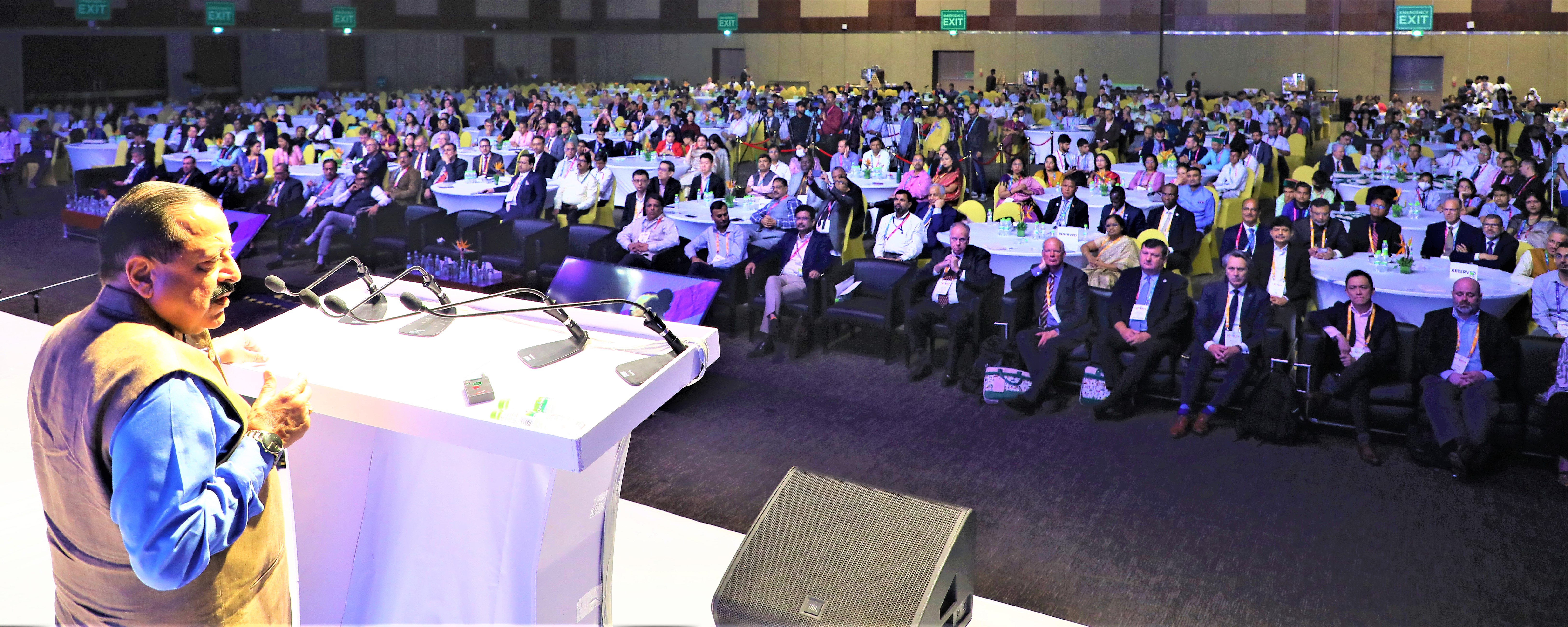
Over 2000 delegates including 700 plus international delegates & participants from about 120 countries are taking part in 5-day Congress
More than 250 Geospatial start-ups in India working across a range of domains like waste resource management, forestry, urban planning and mapping of roads to demonstrate the applications of Geospatial Technology: Dr Jitendra Singh
Geospatial Science and Technology and trained manpower will help develop an international GIS services market for the Indian geospatial industry
प्रविष्टि तिथि:
11 OCT 2022 3:58PM by PIB Delhi
India's geospatial economy is expected to cross Rs 63,000 crore by 2025 at a growth rate of 12.8% and to provide employment to more than 10 lakh people mainly through Geospatial Start-Ups.
This was stated here today by Union Minister for Science and Technology and Ministry of Earth Sciences, Dr Jitendra Singh while addressing the Second United Nations World Geospatial Information Congress (UN-WGIC) 2022 in Hyderabad today.
The 5-day conference is being attended by over 2,000 delegates including 700 plus international delegates & participants from about 150 countries. Moreover, National Mapping Agencies (NMAs) like the Survey of India, which has a glorious history of 255 years, senior officials, non-governmental organizations, academia, and industry, user, & private sector from across the globe are taking part in the Geospatial Congress.
Dr Jitendra Singh said, in the current boom of technology-led start-ups, there are around 250 Geospatial StartUps in India and to give further boost to this sector, the Minister unveiled a Geospatial Incubator today.
The Minister pointed out that the national organizations like Survey of India, Geological Survey of India, National Atlas and Thematic Mapping Organization (NATMO), Indian Space Research Organisation (ISRO) and National Informatics Centre implemented several GIS-based pilot projects across a range of domains like waste resource management, forestry, urban planning, etc. to demonstrate the applications of Geospatial Technology.
The Minister said, the government, industry, researchers, academia, and civil society are coming together to establish quality geospatial ecosystem to build key solutions. He said, democratization of Indian geospatial ecosystem will spur domestic innovation and enable Indian companies to compete in the global mapping ecosystem by leveraging modern geospatial technologies and realising the dream of "Atmanirbhar Bharat" or “Self-sufficient India” fully.
Dr Jitendra Singh emphasised that Geospatial technology and Geographic Information System (GIS) is going to make a significant impact in the way India has been adopting this technology and moving ahead. He said, the world is looking at India as to how it is using technology to tackle some of the major humanitarian and sustainability problems. The Minister added that even though geospatial technologies have been produced, used, and managed in the country for over five decades now, the Government of India’s revolutionary steps towards geospatial democratization, advocacy, and integration over the last few years gave a new momentum to this sector.
Dr Jitendra Singh pointed out that the Rural Development Ministry has mapped over 45 lakh km of rural roads by using 21 data layers of the map, which has digitized information regarding water bodies, green areas, plots, and other structures essential for administrative purposes. He also informed that nearly 2.6 lakh gram panchayat had been covered by the ministry under the scheme of mapping and digitization. The Minister said, evolving technologies in geospatial sector has brought about transformational changes whereby even an inch of a land in India can be mapped, thereby providing solid backups for Indian land reforms.
Addressing the Members of the United Nations Department of Economic and Social Affairs, the UN-GGIM Secretariat, International Delegates, and esteemed participants at Geospatial Congress, Dr Jitendra Singh pointed out that the Government of India released the new geospatial data guidelines in 2021, where it acknowledged the benefits of availability of comprehensive, highly accurate, granular and constantly updated representation of Geospatial Data in diverse sectors of the economy with the belief that it will significantly boost innovation in the country and greatly enhance the preparedness of the country for emergency response.
Dr Jitendra Singh, however, pointed out that a modernized and evolved national geospatial ecosystem cannot be developed based on the innovations and advancements in technology only, but has to be based on the individual priorities of the stakeholders (including nations) and how it can impact the lives as well as livelihoods of the common citizens. He said, to meet the growing needs of skilled geospatial manpower, several universities introduced Geospatial Science and Technology based courses to build human resource capacity and many research projects were taken up, to develop the availability of trained Geospatial manpower. He said, these measures have opened up the untapped opportunity to develop an international GIS services market for the Indian geospatial industry.
Indian Minister told the UN Geospatial Congress that the world has advanced from the traditional definition of geospatial information and its applications to a much more dynamic definition of geospatial solution of real-life problems using modern technologies like digital twins and the meta-verse. He said, the world has come a long way from the days of using paper maps for finding places to adopting spatial intelligence in everyday decisions.
Dr Jitendra Singh pointed out that the recent Covid-19 pandemic management is a remarkable example where geo-enabled technology was used to develop a health service app, which helped in identifying containment zones, aided in monitoring citizen movement, administrating vaccines and ensuring social distancing. Other geo-enabled technologies helped in managing activities like sanitizing hotspots, establishing telemedicine facilities for remote health care and diagnosis, and analysing infrastructure availability to address the health crisis.
Dr Jitendra Singh said, these developments are helping to unleash the technology’s true potential and altering the course of cross-sector creation, use, and management of geospatial information at the same time. Public and private stakeholders are viewing geospatial information as the backbone of sustainable development mechanisms, from the bottom up. The government, industry, researchers, academia, and civil society are coming together to establish quality geospatial ecosystem to build key solutions. In the exhibition section of this UNWGIC we are showcasing the glimpse of this ecosystem, the Minister added.
Dr Jitendra Singh concluded by saying that the future national geospatial ecosystem requires a holistic transformation, in order to keep up with the innovations in the digital economy to ‘break and connect the silos’ and adapt and work in coordination with these technology innovations to simplify spatial data use across all ecosystems. The Minister wished the Second UNWGIC to be that watershed Global event, where the evolution of the Global Geospatial Information management will be towards that Technology-led humanity development.
<><><><><>
SNC/RR
(रिलीज़ आईडी: 1866812)
आगंतुक पटल : 2618